I had some computer disk equipment failure and lost charting data I had obtained a year or two ago for use with OpenCPN.
If anyone here knows a source where I can get replacement CM93 (v2) charts for the Aust coast I would much appreciate you sending me a private message.
Karsten,
Where do you live?
The Hydrographic service sell ENC's but I'm sure no one wants to pay their prices. Paper charts are $35 but a single electronic version of the same is something like $380!!!!!
hydro.gov.au/
The other alternative is to go to the MSB webpage, its changed names now. Download the free pdf file of the charts you need, convert with a picture programme, calibrate and load and your in business. They are more accurate than the Admiralty charts.
This is my homeport, I have made it a lot smaller. The downside of these charts is the MSB safety crap placed in the worst of places on some charts.

Thanks for the info, Ramona. I'm in Sydney.
Sounds like the PDF-to-picture process you describe could take quite a few hours if you want to cover the area from the Whitsundays through to Adelaide including Tasmania; or not?
If the result is compatible with OpenCPN, I'd be prepared to pay (within reason) if anyone has already done it via the PDF route and wants to share.
I was hoping to find a download source for the CM93 charts; think last time I got it via a yachtsman's website (Valhalla, but don't see it there any more). I know the latest CM93 charts (version 3, commercially avail) are not compatible with OpenCPN, so its the CM93 version2 ones that I'm after.
Hi Ramona. I am familiar with the MSB pdf port charts on the website. Can you elaborate on "convert" "calibrate" and "load". Obviously you are converting from a pdf. What "to" format is best and how do you calibrate. Sounds a very good idea as presently I have been trying to print these things off but I no longer have access to an oversize printer anyway.
Hi HaveFun, To make use of the MSB charts they have to be converted to something other than a PDF file. The most common file type for this is to change it to a .png now it is a picture that you can manipulate. To calibrate this picture means finding areas on the picture that you can assign lat & long calibrations to, the easiest way to do this is to use Google Maps and find a known landmark that is also on your .png, you will need to pick at least three points preferably on opposite corners (or at least as far apart as possible) of the .png to lessen inaccuracies. By right clicking on Google Maps you get choices, pick "What's Here?" this will give you the lat/long you need.
Now that you have all the information that you need the .png file needs to be loaded into a navigation program and turned into a map, I know Ramona uses "Seaclear" whereas I prefer "Ozi Explorer" either one works fine. Using all the info that you gathered from Google Maps (or wherever else) you now assign all the lat/long data to your loaded .png file and when finished you will have a moving map display on your lap top which is every bit as good as something you paid hundreds if not thousands of dollars for.
Ramona said "The downside of these charts is the MSB safety crap placed in the worst of places on some charts.
All of this "crap" can be removed in an image editing program. I use Corel Draw version X6 to do this. As the MSB has locked the PDF files I use a PDF unlocking program to allow me access to do all this.
Thanks LooseChange I will give it a go. I am still a bit unsure about the calibration bit. I understand about getting the LAT & LONG for at least 3 locations and understand why you can use that to calibrate. In theory at least. But I am still a bit unsure into which programme you use the LAT Long numbers. I am assuming you would want to generate a scale map before loading that into your preferred map program. If so then how do you do that with the picture editing software you are using? I am keen to give this a go so thanks for the practical how to tips for dummies.
HaveFun, the picture editing software is only used to get a file type other than PDF as none of the Navigation Programs will read a PDF file and also to resize to a size more suitable to what you need or want. As stated previously lat/long data can be got from Google Maps. The lat/long data is used in the navigation program to calibrate the converted PDF file using a calibration function attached to it, as Ramona said for Seaclear it is a small separate proggy called "Mapcal" and in Ozi Explorer the calibration function is part of Ozi Explorer ... File > Load and Calibrate Map Image. Have fun and ask questions
Hi Karsten, all that is nice fun, but
for a purpose of your trip,
would by more convenient to buy second hand
plotter with all AUS maps. Have one for a few year now,
still happy as.
Thanks for the input from everyone.
I have since seen a demo of another cruiser's OpenCPN and I must admit that I like the look of Ramona's chart (see his post above) much more than the OpenCPN vector charts I saw.
So now I'm keen on raster-type charts that Ramona and HaveFun discuss. I think these are the same type of charts used by 4WD and hikers (topographical info on land), and it seems quite easy to buy a set of such raster maps covering all of the Australian landmass for around $100 - $150.
I assume most types of raster charts can be handled by SeaClear - don't know for sure; I'll have to look into it, and what is available for purchase.
Someone also mentioned to me that there are apparently raster maps (land and sea) available in a format called "OziExplorer" (mapping software available in 10 languages so it seems an international effort). So it could be that you can buy OziExplorer marine raster charts for the Australian coast. Need to do some more web searching.
Since I want to cover quite a long coastline (Whitsundays to Tasmania), I would rather buy a set of charts than make them myself, unless it's easy to do in a weekend.
And yes, Charriot, in the end, if I get nowhere, I may have to overcome my bias against "proprietary" software and data makers such as Garmin, but only after I've satisfied myself that there are no viable non-proprietary options.
Karsten, first question I asked was where do you live. Surely you have friends with the appropriate electronic charts. Seaclear, Open cpn and ozi explorer users share charts they have made. Some of these are copyright protected others not. In the USA they are available to download free. In Britain a company called Visitmyharbour sells them. Here we have to work a little harder or use what's available free from sources like the MSB. There are plenty out there though. I sold a laptop to a lister awhile back loaded with Seaclear and all the charts you need.
Charts can be made from Google earth too.
Still busy exploring the options for electronic marine charts, I stumbled across the mapping product from Memory-Map - see "memory-map.com.au".
Boat Books are agents for these, but I see from the web site that you can get a full set of raster charts covering the East Coast including Tasmania, for $100 if you download yourself ($200 if you want mailed CDs).
You can also download the navigation software package (for PC) for free. It claims to provide a full set of GPS-enabled nautical navigation features.
If you already have the PC, this is a modestly priced option to get a solid collection of marine charts and software. Can also get the same for iPhone, iPad and Android (only $50 outlay for East Coast on these).
Has anyone any experience with this Memory-Map product, or have opinions good or bad about it?
No experience with this product. The charts on the cd for AUS navy are the same used by the coastguards and water police etc. and are what most people use[pirated]. They state they can only be used with the Memory nav programme, not sure how they are locked. I'm sure once they are loaded on your PC its open slather.
The charts are just electronic versions of admiralty paper charts in current use. Coloured ones are in metres and mono are in fathoms. These are quite accurate on the coast and at sea but not so good in harbours and estuaries etc.
Hi all,
Here is the low down on electronic charts, as a few people have got it wrong in this conversation.
There are two types of "official" electronic charts covering Australia, these are the Aus RNC (Raster Nav Charts) and Aus ENC (Vector Nav Charts).
The RNC are affectively the scans of the paper charts, but georeferenced... they can be bought directly from a chart agent and loaded into an appropriate software program. They are copyright protected. These are also what you find in programs like Memory-Map... the difference is that if bought direct from an agent (as AusRNC), then the charts can be updated and will in certain circumstances be considered the equivilent of a paper charts by the maritime authorities. Something like Memory-Map isn't considered to have an robust enough system to be considered a paper equivilent... it, like Garmin, C-Map, etc are just situational awareness tools and if you read the fine print will say "not for navigation".
The Aus ENC are vector charts - mostly of the same source data as the RNC... so they aren't "better", just different representations... they are not as expensive as people suggest... $70 will get you a coastal pack with a 12mth license. A coastal pack covers areas such as Port Macquaire to Eden. AusENC are in S57 format, but encrypted with S63... you need a program that is able to decypher S63... again, these charts can accept official updates, so are considered as good a paper chart in some circumstances...
If you are looking at a cheap alternative I would be vary wary of using anything free... NOAA charts for example are NOT reliable in Australian waters... because they do not use official data. MSQ charts, NSW maritime charts, and other "cheaper" alternatives to a Aus paper chart can have funny datums, be based on old data or just be plan dodgy rips off of Aus or Admiralty charts...
For Tas - Whitsundays you could get away with very few paper charts; depending on how many ports you want to visit between Tas & Fraser. You can check out all the paper charts with this Google Map overlay:
http://www.cairnscharts.com.au/pages/ge
You could also get a "Voyager Pack" of AusENC for $350 for a 12 mth licence covering the whole trip... but you would have to checkout if your software can handle S63.
If you are able to track down some open source charts; I would be keen to know. As you can tell I have been looking into all the chart options in detail for a big trip down the coast... I am thinking i will just stick paper charts...
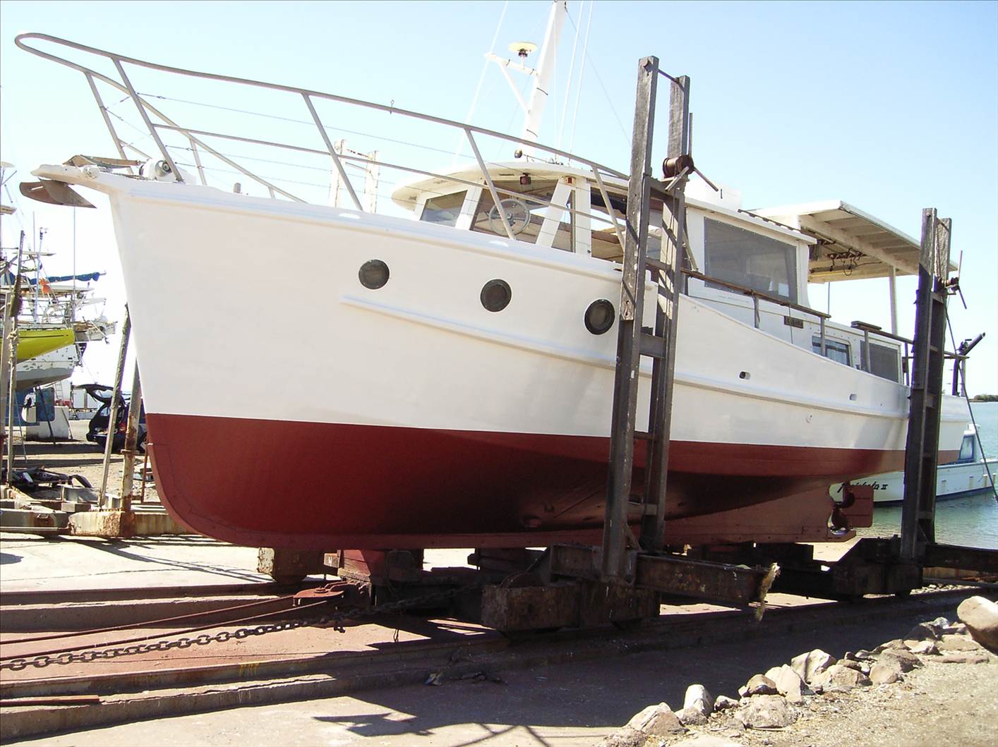
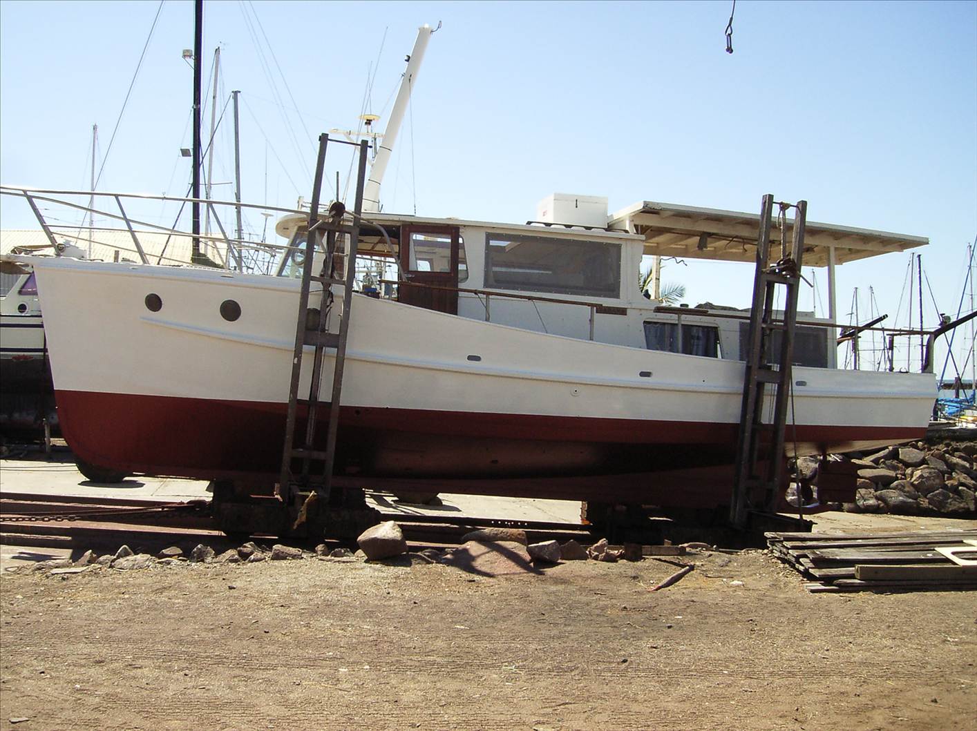
Just got back from helping a friend take his lovely "Flemming" Moreton Bay Cruiser from Bundaberg to Brisbane for slipping and some boat builder work.
He had a laptop with the TMQ mapping software and charts on it. It was quite easy to use and really quite accurate.
Don't know what he paid for it but I think he said it was less than $1,000.
The PC was Win XP running 800x600 as I recall. Any higher definition and the chart was only half of the screen and hard to read.
The interface was easy to use with mouse, touch pad and some keyboard short cuts (eg. use directional keys to pan chart display.)
The PC was interfaced with a NAVMAN 5" GPS/plotter via serial port.
Worth checking out here:-
www.tmq.com.au/
Here are some pics of the boat. A real pretty little thing that cruises at 7.5 to 8 knots with her turbo'd 6 cyl Perkins at 1,800 rpm raising her bow to 2m swell. She pounded a bit in the short sharp chop in Hervey Bay in a 20 knot blow so we had to pull her back to 1,200 to 1,500 rpm.
I am quite jealous of him really because she is a magic little boat.
I did have a play with Seaclear and the sample charts you sent me. Nothing wrong with it at all but I found the task of indexing and adding charts a tad daunting.
Is it possible to buy a chart package at a reasonable price that can be semi or fully integrated into the program??
Whitworths have this product:- The price is good but is the program also good?
www.whitworths.com.au/
I don't know anything about that item at Whitworths. It sounds like you still have to do some editing of the charts to have expanded local charts. Mapcal in Seaclear is a little daunting at first but its only practise. Once set up you may never make any changes for a few years.
Visitmyharbour in Britain sell a cd with Seaclear and all their charts loaded for about 30 pounds, unfortunately they don't cover here.
Hopefully all PC chart sailors, never go to Bass Strait. Your PC will cut off on first leg on anti shake protection and you wish to have a plotter with build in charts in the cockpit.
Cisko, like your expression
"A real pretty little thing that cruises at 7.5 to 8 knots with her turbo'd 6 cyl Perkins at 1,800 rpm raising her bow to 2m swell.
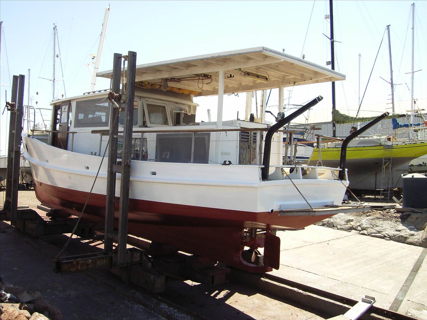
Displacement 10 tons plus isn't it ?
Yes it is. the timber cover is off and it needs work, I should have edited it out of the picture. Thanks for pointing that out!
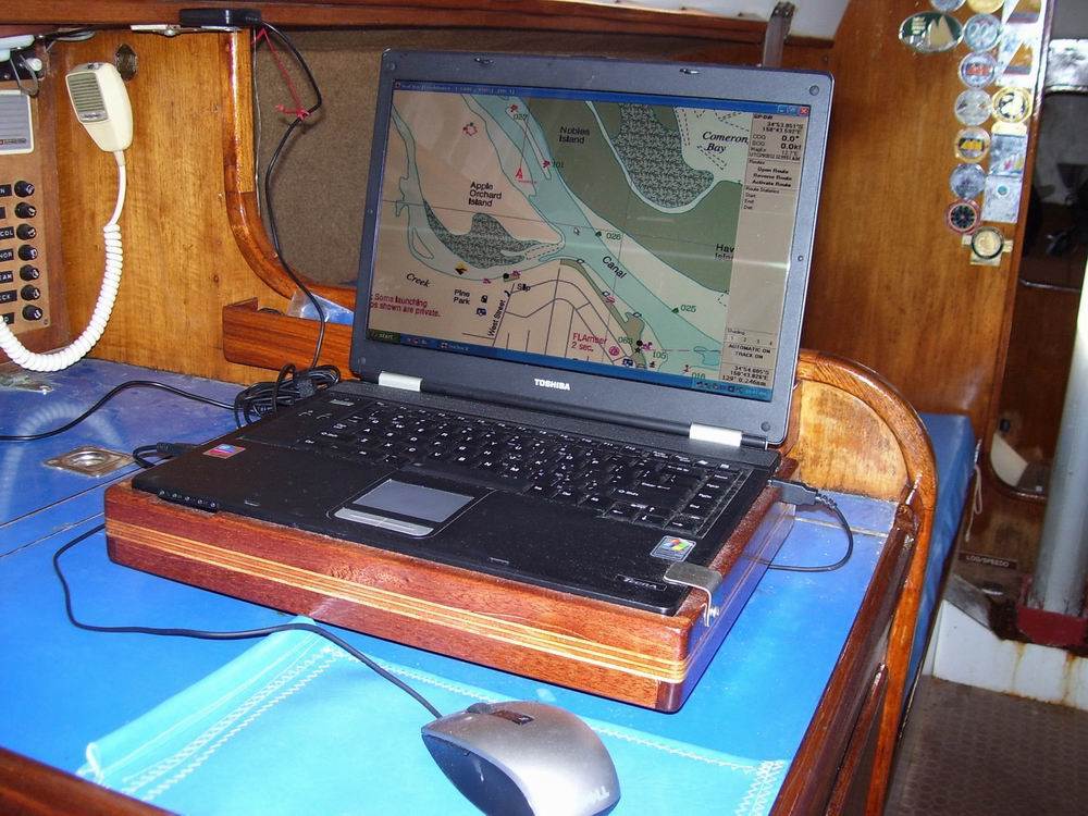
I have a Logitech trackman roller ball mouse now to add to the system, I just have to make a timber platform for it to and screw the mouse in place. That way nothing flies around the cabin and it can be mounted at a slight angle so wet hands are no problem.
It's risky business here . You show picture with one thing and people can see something else. Trackball mouse is great I have Logitech over 2 years perfect.
This is the trackball mounted in my old fishing vessel. Mouse is held in place with screws and flat washers. Because of the height and angle water off gloves tends to run down the wrist and away. Keyboard mounted vertical just below window.
New owner uses Navionics software alongside Seaclear, no idea why. Not a patch on the Seaclear programme.

Just back to the robustness issue of charts for a moment - I'd been waiting for fnqsailor to reply with his views on why the Garmin, Cmap and Memory-Map electronic chart systems are not "robust enough for navigation", but he didn't so I telephoned a couple of them (Cmap and Memory-Map company in-house) to put the issue to them.
The answers I was given was simple: it is about frequency of updates to charts to reflect Noctices to Mariners. It is not about the accuracy of the charts or the transfer of image data from official hydrographic sources to their products.
Technically, to qualify in the commercial world as a source of marine navigation, a chart must be updated frequently; at least fortnightly.
Neither Cmap nor Memory-Map commits to do that and therefore do not qualify as commercial navigation sources.
They said there were actually electronic chart vendors that do frequent updates and they would qualify.
Memory-Map also said that since electronic devices can fail, they always recommend sailors rely on paper charts in the first instance, then electronic charts as secondary.
If you think about it, even electronic charts that are being updated every 14 days are still subject to failures of boat electrics/electronics, and some may thus consider them as therefore not "reliable" enough irrespective of who sells them and at what price. This reliability concern would presumably apply to other electronic aids, including Gps devices.
Paper charts that are not being frequently updated witth Notices to Mariners are equally not commercially valid, and therefore similarly "not to be used for navigation", same as Cmap, Memory-Map and Garmin.
However, a sailor can DIY-update paper charts using appropriate stationary, whereas he cannot simply DIY-update electronic raster charts.
Hi Karsten,
My apoligies for not replying sooner - I was expecting an email to say something new was added to the discussion...
Anyhow - thanks for asking my thoughts on this.
Regarding you initial question on the differences you see. You are right that Memory-Map are basically reproducing the raster charts (under licence). If they are smart, that won't muck around with them (I don't think they do, so if you compared the two you should not see much of a difference.
C-Map on the other hand, along with many others, recompile the data into vector format. In doing this, they are basically tracing a paper chart (or ENC), then adding it into the pot with a tonne of other data they have sources from other places. So when you look at an area, you can't be sure exactly where the data came from, who surveyed it, its quality, etc, etc. I won't go as far as to say they make some of it up, but certaintly there is some very questionable bits of data in some systems.
An official chart will tell you "this data is rubbish", "that bit isn't surveyed"... however commerical systems want to give you "full coverage"... so occasionally contours can be smoothed out, they will include a bit of a satelite derived data (spot depths at 1km for example) to fill in the gaps... it is all a bit wishy-washy and certaintly not "rigorous"...
It is good to see that Memory-Map / C-Map were honest with you about their products limitations. You have pretty much got it; they don't update they systems regularly enough, nor do they give you any warranty on the quality of the data and representations. If C-Map accidently miss copying a rock from the official chart, into their format, and you hit it, they won't accept any liability - they will be embarrased, but that is probably as far as it would go.
All your points on datums, features, inaccuracies, etc are all relevant. Whenever someone copies something, the precision and accuracy degrades. If you think about a 1:150000 scale chart, the plottable error is considered to be 0.5mm, which at this scale is is 75m. So it only takes a few minor reproduction errors to have something end up a good couple of 100 metres off mark.
Compounding this, particular with vector based systems such as C-Map, is that you can "zoom" in well beyond the compiled scale. For example if the source data chart is 1:150000, then once you zoom closer then that in any system, you starting to blur the lines between precision and accuary... just because you can see the chart at 1:1 scale (precision), doesn't make it any more accurate then the +/- 75m it was compiled at.
I don't fully agree with what they told you about "it is not about the accuracy of the charts" - it is very much about that.
Just to clarify; for commerical use, the chart MUST be issued by an Hydrographic Authority; nothing else will stand up. They them must be maintained to the latest notice to mariner, also issued by the Hydrographic Authority.
There are some electronic chart vendors that do "valued added reselling". They buy the official charts, add to them (without changing the underlying information), then encrypt them with S63 and sell them as an official ENC... The best test of how "official" an electronic chart is, is to ask if you need an S63 User Permit; if you do - it is very likely you are buying some very legitimate... if not, it is anyone guess.
Commerical regulations require two independant systems. So for a large SOLAS vessels, we are talking two completely independent (including power, gps, the lot) ECDIS systems. For smaller state registered vessels, you can use a laptop / PC and have a second onboard. In both cases, you still need official charts to be installed and up to date.
I could go on, but I will give it a rest - as I am not sure many will still be reading!
If you want official charts, and you are happy to run it on a laptop / PC, as in the pics shown previously - you can set yourself up for about $500. I think that price rivals most other decent chart plotters anyway - so why not get the official charts?
Despite the excellent instructions Loose Change I decided getting a navigation software package and transferring and calibrating the NSW Maritime charts a bit challenging and instead went with the Quick Chart East Coast CD from Whitworths for $189 as reported by Cisco. It uses Memory Map as the nav program and loads the Raster charts from the CD. the program has a facility to import charts into the database.
Its taken me last Thursday and Friday nights, all of Sunday as well as many hours last night and tonight to work out how to use it. First problem was getting the program authentication to unlock the program. Was supposed to happen automatically if online and then there is a manual backup process. But only by trial and error did I discover the problem was a pop-up screen that is not mentioned in any of the info on the Memory map website or the CD cover. You need to get past this first pop-up screen before authentication pop-up screen will appear. Having finally solved that on the second night, its taken the rest of the time to finally stumbled on a method that allows a practical route plan (voyage plan) to be created. I found the trick is to first create and store as "marks" the places you want to use as waypoints and then go back and create a route plan. This last bit has a trick to it as well buy once discovered it becomes quite esy.
So in answer to your question Cisco, my experience has been that once you work out what to do (the short entries in the Help index do not give much practical help to someone creating a sailing passage plan that traverses a quite a number of charts, and is probably of more use to someone using memory Map for a bushwalk within the confines of one map or chart.) Despite the frustrations in having to use trial and error to find a way of using it effectively and conveniently, now that I have discovered how to use it is now making my voyage planning much easier than manually using paper, ruler and dividers with the paper charts.
The package is authorised for loading on up to 2 PCs and two mobile devices, so you can transfer the maps and plans to a mobile phone (iphone or android) and use that on deck in addition to the pc down below for monitoring progress.