
Weather | Buy&Sell | Forums |  |
Weather | Buy & Sell | Gallery | Forums | |
This will be of interest to those in NSW.
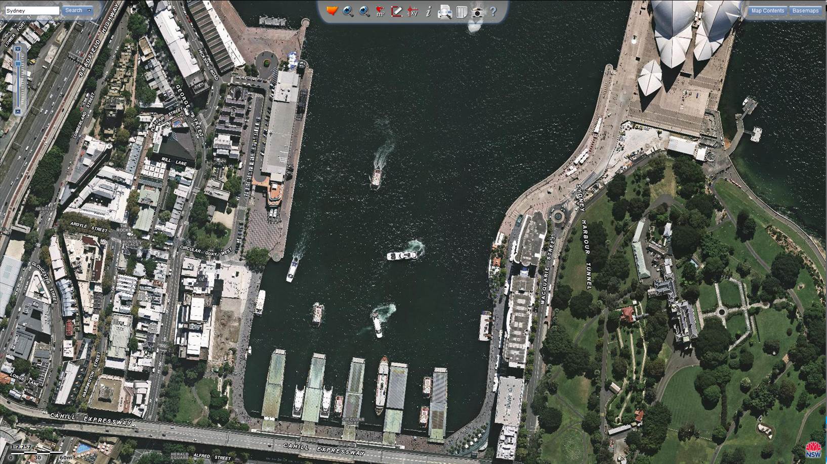
There used to be a website called Nearmap, a site very similar to Google Earth or Maps.
Nearmap is an Australian company that used to allow free access to its data from all over Australia, but because it's a commercial company you now have to pay very hefty fees to access the data.
Thankfully the NSW Gummint is a subscriber and we can look at anything we like in NSW. The web addy is ..... maps.six.nsw.gov.au/
Check out the samples of styles
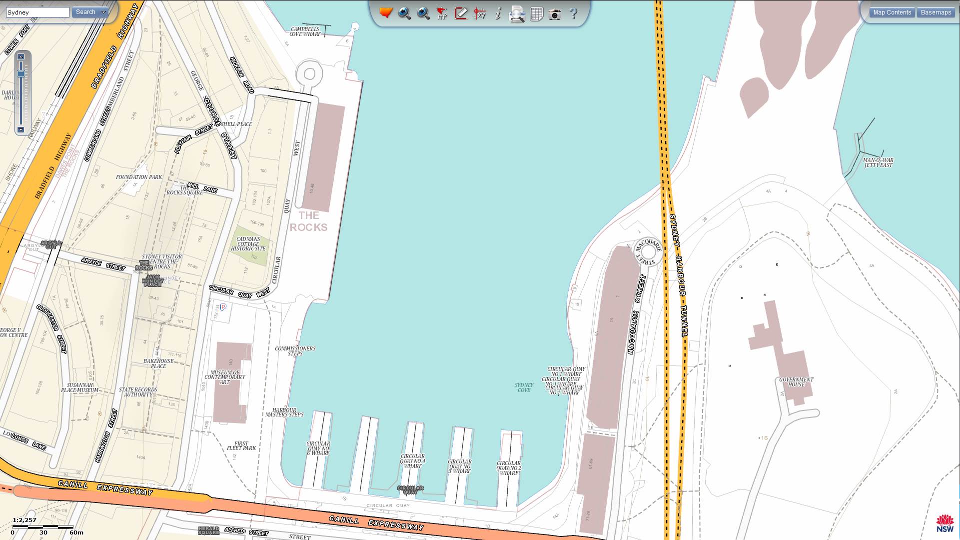
I tried Nearmap years ago but had trouble using it. Your link is handy but I can't get a lat and long overlay to calibrate a chart. Its not the easiest page for an old bloke to use! I know I can do it with Google earth but if we can get some lat and long here it would be helpful.
Interestingly it shows Shoalhaven heads "entrance" like it really is and not the navionics view. The Google earth view shows my catamaran tender at my mooring and even the wake off the mooring buoy, must have been out sailing that day!
Easting 9640355.514
Northing 4311333.067
To get Lat and Long use the XY tool in the middle at the top of the map, click anywhere on the map and a box with the co-ordinates opens up. The map is rather slow to load if you are on a mediocre connection because of the amount of detail. These maps are updated on a regular basis so should be more accurate and relevant than Google maps.

