Weather Forecasts & Live Reports
About Broome Radar
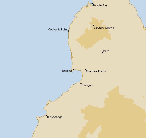
Geographical Situation
Broome Weather Watch Radar is situated so that it overlooks Roebuck Bay to the south-east and the wider Indian Ocean (north to south-west). The radar has an 360 degree unrestricted view. Meteorological Aspects
On the 27th of October 2008 the Bureau installed a C-Band radar at Broome airport, replacing the existing WF 44 radar. The introduction of this new more sensitive radar has led to a number of occasions where ""false"" or anomalous echoes have been displayed. This is not caused by a malfunction in the radar, but rather is a result in the increased sensitivity of the radar. Radar works by sending pulses of electromagnetic energy (in the form of waves), which are then reflected back to the radar by objects in the path of the wave. The radar beam follows a slightly curved path and goes progressively higher the further away from the radar it travels, until it hits an object in its path usually rain droplets. In the Broome area it is quite common for strong temperature inversions to occur, which means the temperature actually increases with height over a small distance in the atmosphere instead of steadily decreasing with height. There are a number of reasons why inversions can happen, and in the Broome area, one of the most common examples is when hot air from the inland moves out over the cooler ocean. This leads to marked temperature inversions close to the surface, and the effect of this inversion is to ""trap"" the radar beam in the layer of air between the cool ocean and the hot air a couple of hundred metres above it. Because of the change in the refractive index between hot and cool air, the radar beam is ""bent"" back towards the waters surface. When the beam strikes the water it reflects its energy back to the radar and it is that image which is displayed on the radar picture. In certain circumstances the inversion can be strong enough such that displays similar to the one below occur. Example image of Broome Radar display. This phenomenon is the price to be paid for increased sensitivity which means that rainfall and thunderstorms are much better depicted by the radar. With practice it is quite easy to recognise the difference between real and anomalous echoes.