Keen to see some google earth gps tracks![]() I'm mesmorized by the pretty patterns
I'm mesmorized by the pretty patterns![]()
![]()
![]()
![]()
Here's one of Melville to Pt Walter.

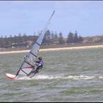
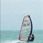
Heres me at Milang on the 16th of FEB. Only 15 or 16km but wasn't overly windy. Broke a sail and a board that day aswell which was a bit of a downer.
Also, how do you guys get your track markings really narrow. Mines all thick so you cant see where i went as well as yours.
Cheers
Bubs

Hows Grumps's first one ...so tidy lol ![]()
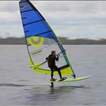
And firiebob's 2nd and 3rd ones you can see how he's been riding the rollers out the back.![]()
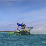
My "best" run so far, 4 PBs on this one - 9-3-2008

and no I didnt include the drive back in my calculations ![]()
The GPS got turned on again in the car so my full track included the drive home (and a stop of for a beer at a mates !)
Thats top stuff fella's.
How about with each one you describe the actual conditions of the spot??
For example, from reading other threads I have assumed Hardie's Run is totally different to what it looks like from above. Is it super shallow, deep, water state, where does the wind come from, what happens if you break down etc, how long and far does it take to get out to the run????????????????????.
Just curious.
Ta.
Larko.
looking at the 'Google earth' thread, the tracks on the blue water look so good, it occured to me - why not start a
"GPS Sea Writing Challenge"
like Sky Writing but using the tracks on G/E to spell a name etc.
A bit of a challenge like alpha's.
First to write 'seabreeze' or maybe just 'sea' or 'GPS' or 'Oz' gets a prize (a set of Derwent pencils[}:)][}:)]) or a T-shirt from Lozza![]()
Any photoshop work will be penalised, & any stink-boat or similar shenanigans gets you banned from seabreeze!!!