Weather Forecasts & Live Reports
About Cairns Radar
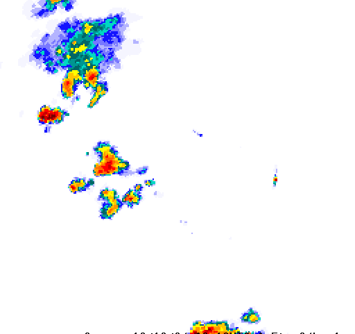
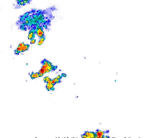
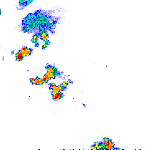
The Cairns radar is situated approximately 9km north-northwest of Cairns airport at Saddle Mountain (also known as Bunda Gawan by the Djabugay people) on the Kuranda range at a height of 652m. The radar has good visibility in all directions, though does have some limitations to the south-southeast looking over Mt Bellenden Ker (1593m) and Mt Bartle Frere (1622m) at approximately 40 and 60km respectively. Good radar coverage can be expected from as far north as Cooktown, as far south as Tully and reaching inland areas such as Chillagoe. In optimal conditions coverage may extend as far as 250km from the radar, and possibly further out to sea for distant tropical cyclones. The radar is well sited for detecting tropical cyclones over the Coral Sea as they approach the Cairns coastal area, and for tracking thunderstorms approaching from inland parts. During the winter months when the southeasterly trade winds are active the radar detects most coastal shower activity. Low level drizzle can however go undetected, especially in the few kilometers immediately adjacent to the radar due to the radar beam overshooting the top of the cloud and precipitation. The Doppler capability of this radar provides enhanced detection of the potential for damaging winds from thunderstorms, and can also detect wind changes such as sea breezes. During windy conditions and when rough seas are present the Doppler radar output can be affected by 'sea clutter' as the sea surface reflects 'sidelobes' of the radar beam, though echoes from actual precipitation are usually discernible in animated image loops. Large ships may also occasionally appear in radar images as moving arcs of reflectivity. Heavy rain over the radar site may on very rare occasions cause attenuation of all signals. Path attenuation can also occur when the radar beam passes through an intense thunderstorm cell, reducing the returned signal from cells further along that path. When rain from cloud bands does not reach the ground (known as virga) there may be indications of rainfall that appears to dissipate as it approaches the radar. Apart from these limitations, the radar gives a generally good representation of rainfall intensity and highly reliable detection of severe weather threats.


